Timms Hill
Steven Dutch, Professor Emeritus, Natural and Applied Sciences, University of Wisconsin - Green Bay
 |
 |
 |
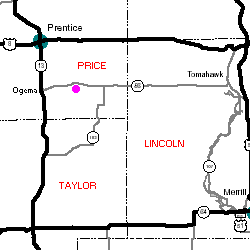
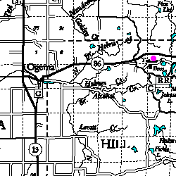
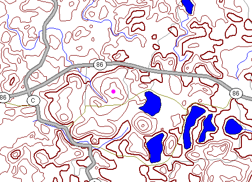
NE 1/4 NW 1/4 Sec 11 T34N R2E, 4.5 miles east of Ogema and 1/2 mile south of State Route 86, Price County. |
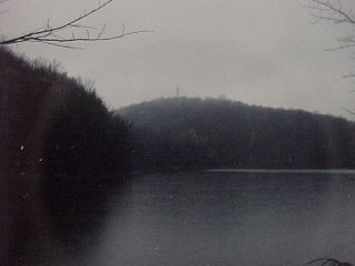
At left below is a view of Timms Hill from across Timms Lake on a rather dreary day. The lookout tower can be seen at the top of the hill. At right is another view of Timms Lake.
 |
 |
 |
As state high points go, Wisconsin's is a bit more impressive than Florida's or Delaware's, but definitely not in the same league as New Hampshire's Mount Washington or California's Mount Whitney.
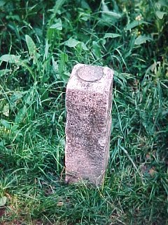
Timms Hill isn't even made of rock. It's an inconspicuous high bump on a moraine. At left is the bench mark marking the highest point in Wisconsin. |
 |
When I was there in 1996, there was a tower over the bench mark because the bench marks were being resurveyed. |
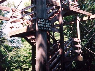 |
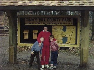
A wooden lookout tower bears the sign:
Timm's Hill, Wisconsin's highest natural point, Elev. 1951.5 ft. Rib Mountain was long thought to be the highest point in Wisconsin but Timms Hill beats it by a few feet. People have asked me when that happened. Around 1962. Some students at Madison were working on a routine map assignment and noticed it. |
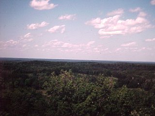
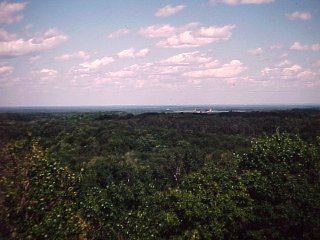
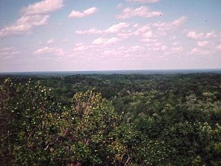
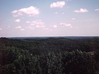
Views from Timms Hill
 |
 |
 |
 |
Return to Geology of Wisconsin Index
Return to Geologic Localities Index
Return to Professor Dutch's Home Page
Created 22 September 2000, Last Update 22 September 2000